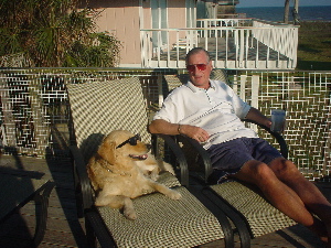
(Rosie & Rex shown in a pre-season hurricane season planning
conference)
The general time line was as follows: (photos follow this description) jump directly to photos
|
|||||
|

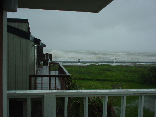
| Monday 3:00pm | Arrived at Pirate's Beach. Conditions were windy and the
surf was up to the dune line. Claudette was being forecast as a minimal
storm with a small tidal surge. The storm was heading Northwest for Galveston, but all forecasts predicted a westerly turn with landfall well down the coast. |
| Monday 9:00pm | Winds rising. The storm had finally turned westerly but somewhat later
than the forecasts had predicted. This meant that the eye would come much closer to Galveston than originally thought. |
| Monday 10:00pm | Some consideration
as to leaving Galveston was given, but conditions were still not too
bad and traveling in the rising wind during darkness was not too appealing.
Rosie and I decided to stay. Before heading to bed, I lowered all the electric storm shutters anticipating power loss at some point and not wishing to have exposed windows to the rising wind and flying debris. |
| Tuesday 1:35am | Power lost. This
awakend me and a quick look outside the front door showed rising water.
It was not clear what the levels would become, but high tide was going
to arrive around 8am, making the problem worse. Winds were rising rapidly and the house was swaying quite a bit. |
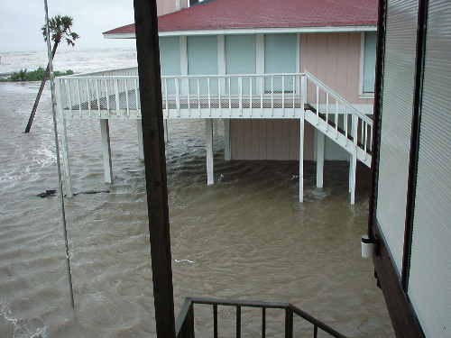
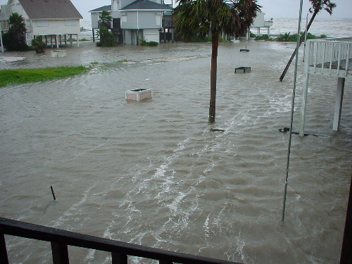
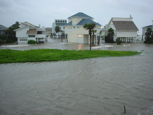
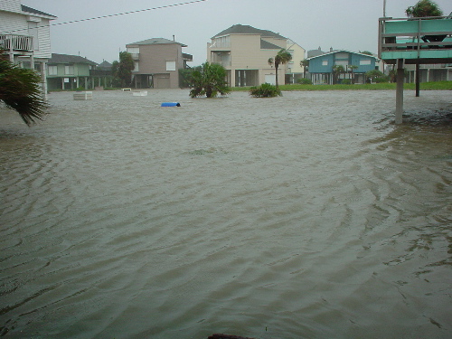
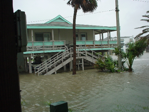
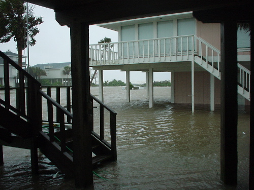
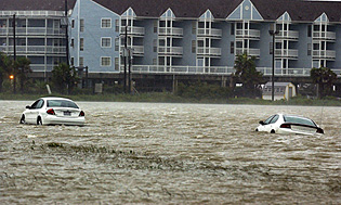
| Tuesday 6:15am | Finally it was getting light and I was able to review the rising water
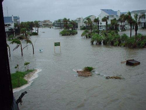
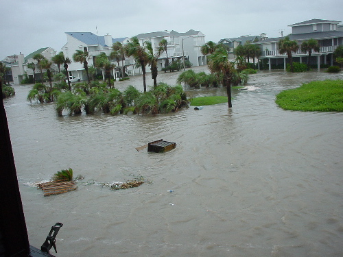
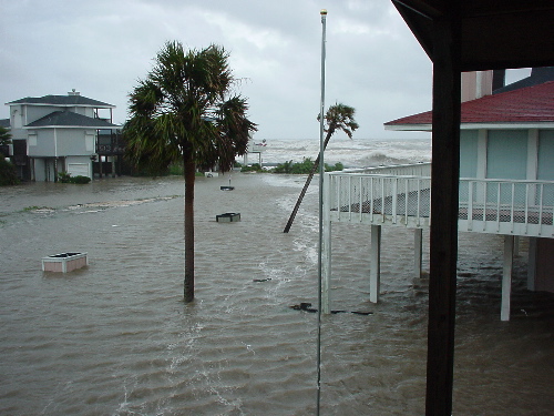
situation. A trip outside showed water much higher than anticipated. As
it turns out, our lower slab has a somewhat higher elevation than the surrounding
houses and while water was 3-4 feet deep in the streets, it was only about
six inches deep on our slab. However, winds were still rising and high tide and yet to come. |
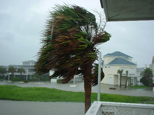
| Tuesday 6:30am | I observed that the slab on our house was even higher farthest from the
street, so I moved Adrian's car up as far as it would go. Water there was only 2-3 inches on the slab and gave some room for the further rising tide. Substantial winds were now constant with hail-like rain. |
| Tuesday 8:30am | The peak of bad wind and water conditions had been reached with not much further increase in the water level. |
| Tuesday 10:00am | Winds and rain continued strong, but the tidal surge was beginning to
recede. The worst of the rising water problem was now past. However, overall flooding was such that no chance of departure was going to be possible for several hours at least. |
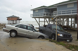
| Tuesday Mid-Day | Rex and Rosie hike around the Pirate's Beach area observing the damage
and general conditions. The water in some areas was deep to get through,
but Rosie was up to the task. We recovered our large wooden trash bin by floating it back up the street from where the storm surge had deposited it. |
| Tuesday Mid-Day | All power remained
off and the house, with the storm shutters still closed, was quite dark. Rosie's highlight of the morning was helping to dispose of several quarts of ice cream which were melting fast. (Vanilla was her favorite.) Street flooding was subsiding, but departure was still not possible. |
| Tuesday 3:45pm | Street flooding had subsided such that departure was now possible. With
no prospect of the power returning anytime soon, Rosie and Rex load up
and depart for Houston. We were able to observe a lot more substantial damage in some areas east of Pirate's Beach on our way out. Lots of debris remained on the highway out (FM 3005), but the water had receded. |
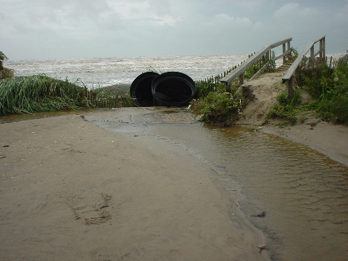
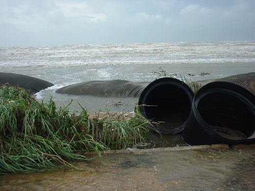
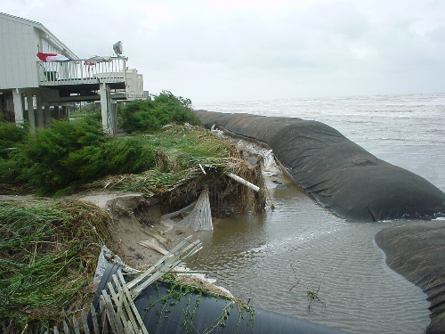
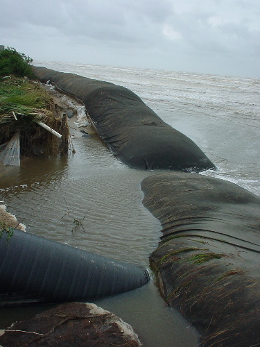
| A Happy Ending | It is clear that
the dune-socks, saved some damage for the level of storm surge which
was encountered, estimated at around 6 feet. |
| Weather Data to Come | With the power lost,
the full wind, rain and barometric record of the storm has not yet been
recovered from my weather station. However, as the weather station has battery backup operation, the full weather archive has been captured and I will publish some charts this weekend. I can tell you from first hand experience, while it may not sound like much, standing in a 50 mph wind captures your full attention. |
| Loading... | |||